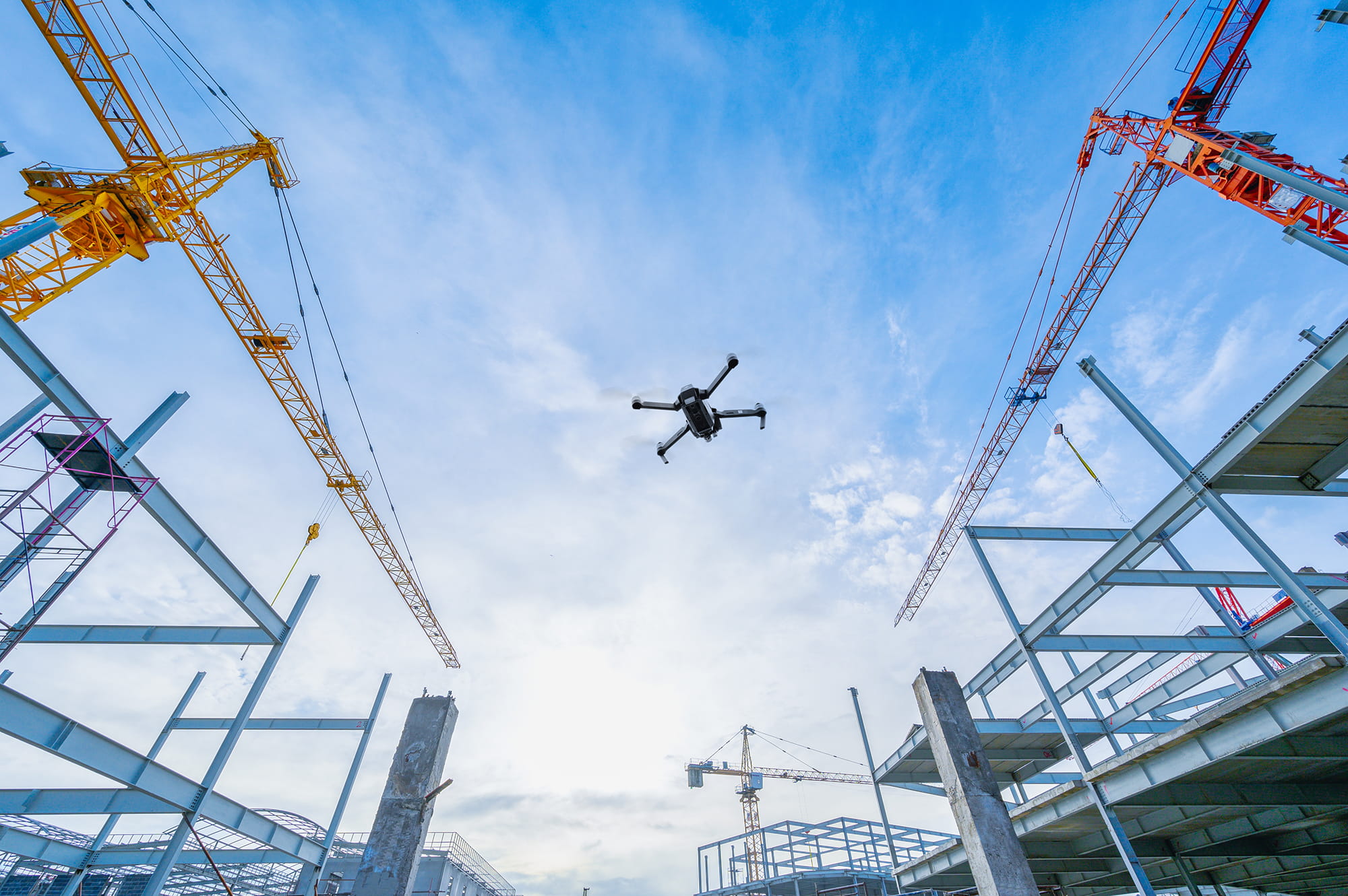
Drone-as-a-service
Understanding a building properly often means seeing what cannot be accessed safely or easily from the ground. As estates become more complex, and evidence-led decision making becomes standard, aerial data is no longer a novelty – it's a practical and sustainable tool. We support owners, developers and estates teams with accurate, repeatable drone surveys that bring clarity to façade investigations, condition reviews and long-term performance monitoring.
Drone specialists
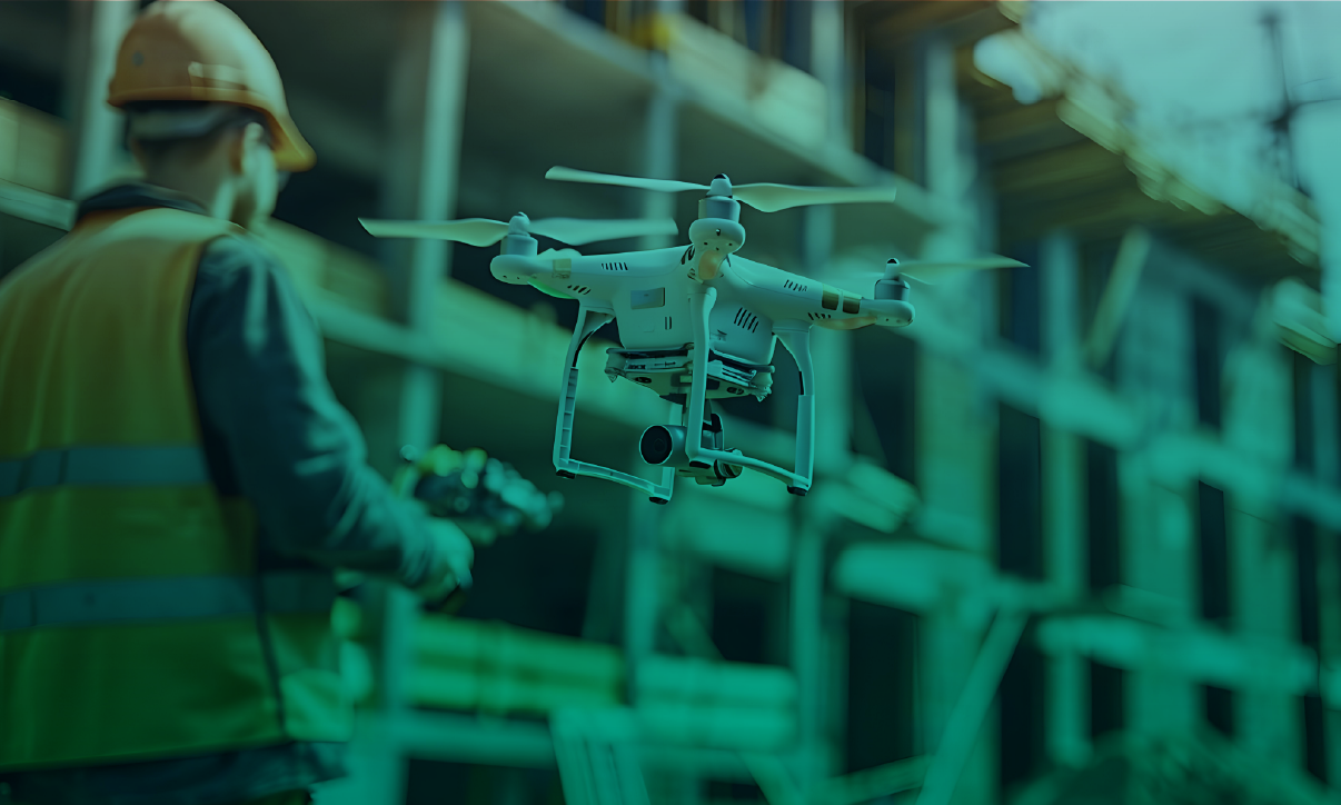
Our work spans design, construction and occupation. We establish reliable baseline data, investigate emerging issues and support structured monitoring over time. High‑resolution imagery, thermal surveys and 3D models are captured by experienced consultants and interpreted by specialists who understand how buildings actually perform.
Technology alone doesn’t solve problems. What matters is how information is applied. We use drone insight where it strengthens decision-making, integrate it with wider surveying and engineering disciplines where needed, and keep reporting clear, proportionate and grounded in action.
The technology that powers every survey
Our drone network combines advanced optical and infrared sensors to capture high-resolution imagery at scale. Millions of data points are processed to generate accurate, photorealistic 3D geometry.
This approach – Ridge Reality Capture – brings together multiple survey and inspection techniques into a single, coordinated workflow. The result isn’t just imagery, but structured, usable data that integrates with your wider asset and project systems.
Delivery is managed through Pilotforce, our secure digital platform. It enables commissioning, scheduling and repeat inspections across single assets or entire estates, while giving authorised users direct access to imagery, models and reporting outputs. The emphasis is on control and clarity – not just capture.
-
Inspections and geometry
High-resolution RGB imagery is captured through fixed-position deployments or mobile drone docking stations, supporting detailed façade inspections, roof surveys and repeat condition monitoring.
-
Geographic information systems (GIS)
Aerial data is captured with precise geolocation for every inspection point, defect or thermal reading, enabling integration with platforms such as Esri and QGIS to support estate-wide mapping and asset strategies.
-
Thermal imaging
High‑resolution infrared surveys are used to identify heat loss, moisture ingress and building envelope performance issues, with data converted into visual 3D thermal models where spatial context strengthens analysis.
-
Terrestrial surveys
Wearable and mobile capture technology enables the passive collection of additional site data – particularly effective for providing regular updates in live environments without disruption.
-
3D point cloud
Highly accurate geometric datasets are produced to model structures in three dimensions, supporting design coordination, retrofit planning and dimensional verification.
-
Measured surveys
Measured surveys produce 2D drawings and 3D digital twins derived from photogrammetry and LiDAR, with outputs integrating directly into Revit, AutoCAD and Synchro 4D to support design development, planning submissions and asset management workflows.

Drone-as-a-service key contacts
Services
Strong individual services that outperform when connected – shaped by what each project needs. We bring the right expertise at the right time to deliver better outcomes.
-
Plan
-
Design
-
Enable